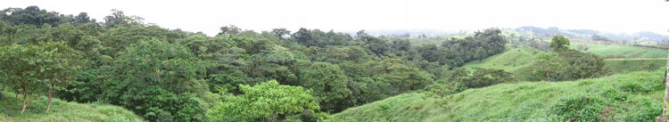
Costa Rica, or the terrestrial landscapes that today are Costa Rica, are less than 50 million years old. Much of the land is relatively young, less than 6 million years old, which corresponds to when North America and South America were connected. This land connection allowed for the movement and migration of plants and animals north and south when such movement was prevented or very difficult for many species previously.
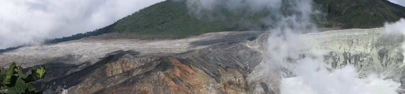
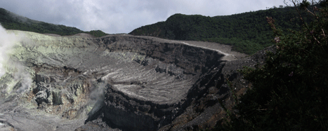
The majority of the geology of Costa Rica is volcanic. Limestone is exposed along the Caribbean side near Limon, and Pleistocene and Holocene sedimentary rock has developed in the valleys between the volcanic ranges. The soils in Costa Rica are quite rich, due to their origins of volcanic deposits. Water is not a limiting factor in Costa Rica, as it is in temperate climates, so plants thrive and grow quickly.
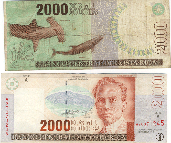
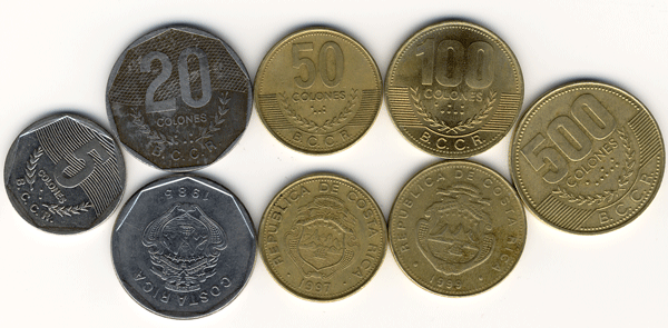
The basic Costa Rican unit of currency is the colon. As of our tour, there were 492 colones to the U.S. dollar. So, the total value in American dollars of the money shown above is about $9.85.
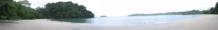
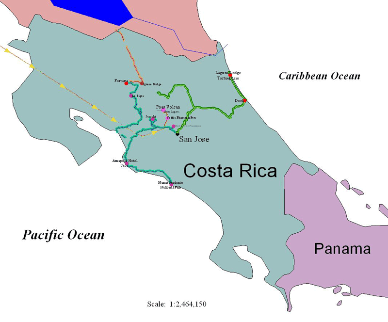
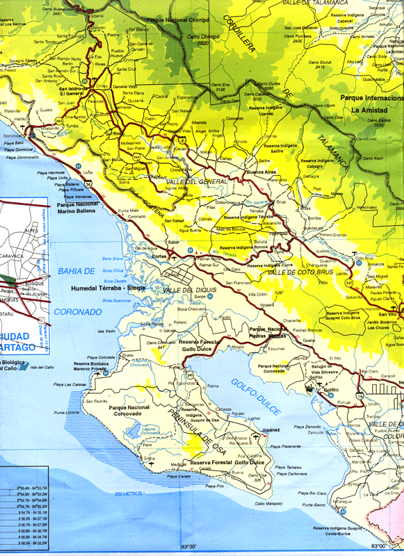
The photographs in the following pages were taken at seven general locations in Costa Rica: the Central Valley near San Jose; Volcan Poas; Tortuguero National Park on the Carribean coast; the region of Volcan Arenal; Rio Frios at the Nicaraguan border (Cano Negro Preserve); the towns of Grecia and Sarchi; and in the Jaco and Manual Antonio areas on the Pacific coast. These photographs were taken between 15 and 23 December 2005 while on a "Costa Rica Natural Paridise" tour operated by Caravan (out of Chicago, Illinois), which turned out to be a great value. In addition, several photographs are included from our first visit, self-guided, to Costa Rica in April 2001.
All photographs copyrighted by David L. Magney 2005, unless otherwise identified.