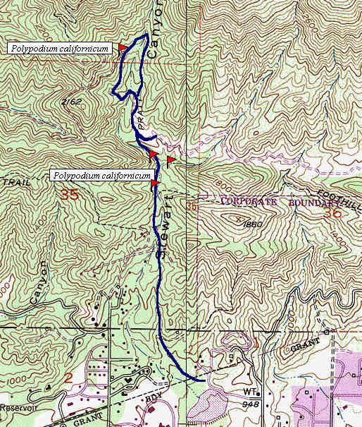
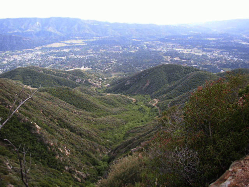
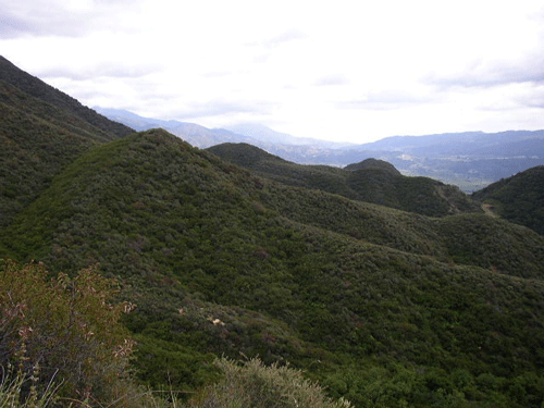
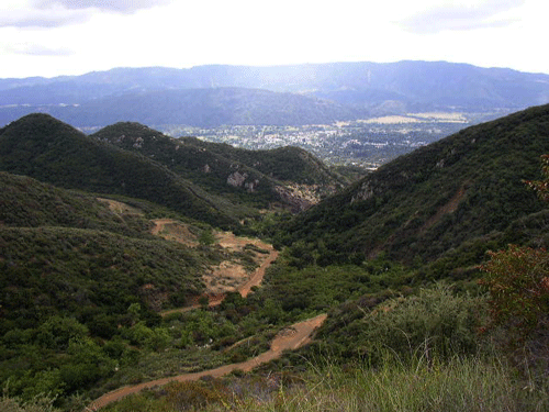
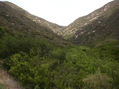
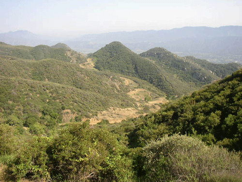
The Pratt Trail generally follows the length of Stewart Canyon to the top of Nordhoff Peak, beginning at the Stewart Canyon Debris Basin at the north edge of the City of Ojai. Stewart Canyon drains the south flank of Nordhoff Peak on Nordhoff Ridge, on the north side of Ojai and the Ojai Valley. March through June are the best times for seeing native plants blooming along this trail. The views of the Ojai Valley, Santa Clara Valley, Oxnard Plain, and even the northern Channel Islands is best when the air is cleanest, during the winter.
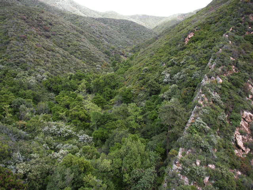
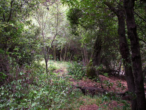
The rains of 2004-2005 were the highest ever recorded for the area, with Nordhoff Peak receiving the rainfall. The abundant moisture brought forth a tremendous density of blooms from nearly every native plant species. The Sticky Bush Monkeyflower (Mimulus longiflorus var. longiflorus), while always present, has more blossoms per plant then normal. The flower heads of Golden Yarrow (Eriophyllum confertiflorum) are twice as large as they are normally. The trail is quite steep above the Foothill Trail road, so bring plenty of water to drink. The Pratt Trail follows the riparian corridor of Stewart Canyon Creek, and steep chaparral-covered slopes above the creek. Several species of Ceanothus are found along the trail, dominated also by Chamise (Adenostoma fasciculatum), the most common chaparral species in California.
All photos copyrighted by David L. Magney 2003-2005