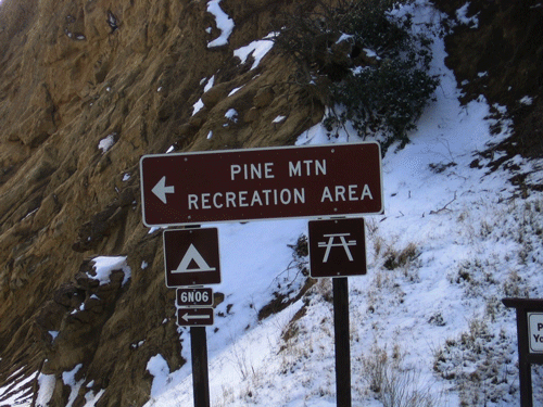
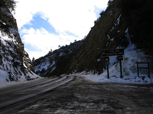
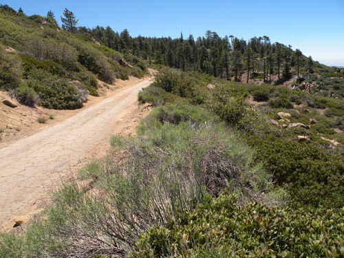
A Forest Service road provides seasonal access to the top of the ridge, ending just west of Reyes Peak, the highest peak on the ridge at 7,510 feet elevation. Four trails are featured, the Chorro Grande, Derrydale Canyon (which actually lacks any formal or maintained trail, Piedra Blanca (part of a National Recreational Trail), and Johnston Ridge Trail (from Mutau Flats to Sespe Hot Springs) at the eastern end of Pine Mountian Ridge. Areas such as Thorn Meadows and nearby Horsethief Canyon are also featured, and some of the pioneer history, including an article on the Sisquoc Rangers and Pine Mountain Lodge.
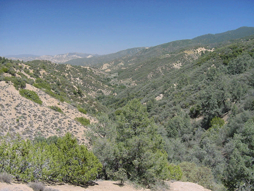
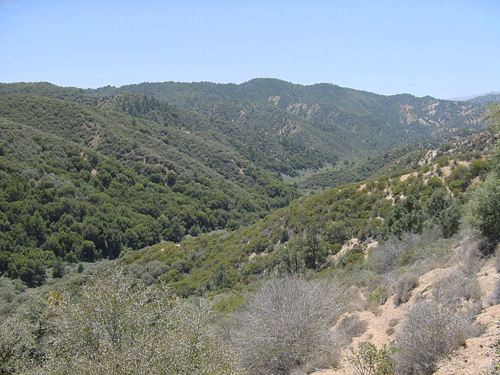
The creeks/canyons that drain Pine Mountain Ridge on the north side (from west to east) include: Rancho Nuevo Creek, Deal Canyon, Bear Canyon, Boulder Canyon, Snail Canyon, Reyes Creek, Beartrap Creek, Alamo Creek, which are all tributaries to the Cuyama River. Further east, but also draining the north flank, include tributaries of Piru Creek, including: Piru Creek, South Fork Piru Creek, Cedar Creek, Thorn Meadows Creek, and Mutau Creek. The south flank of Pine Mountain Ridge is drained entirely by tributaries to Sespe Creek, listed from west to east: Adobe Creek (which follows SR33 to the road summit), Goodwin Canyon, Chorro Grande Canyon, Burro Creek, Munson Creek, Potrero John Creek, Derrydale Creek, Rock Creek, Piedra Blanca Creek, Trout Creek, Sycamore Creek, and Sespe Hot Springs Creek at the eastern end of the ridge. There are several unnamed creeks as well.
The northern half of the county was protected from the vast development of the southern half by the establishment of the Forest Reserve to protect the watersheds providing water to the lowland areas. The first forest reserve in Ventura County was the Pine Mountain and Zaca Lake Forest Reserve established by President McKinley on 2 March 1898, measuring 1,144,594 acres. After expansion of the reserve system, President Theodore Roosevelt establish the National Forest system and combined the reserves in Ventura and Santa Barbara Counties into the Santa Barbara National Forest in 1908. It wasn't until 1938 that it was renamed the Los Padres National Forest.
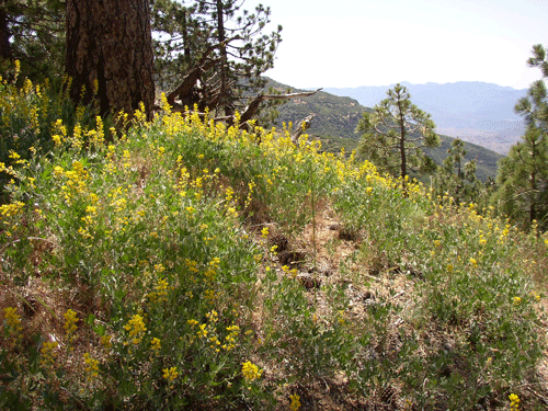
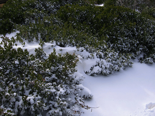
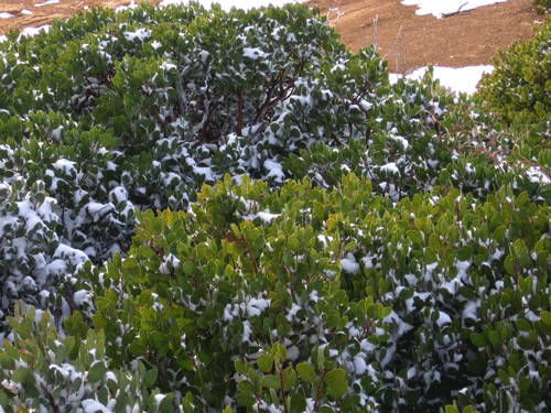
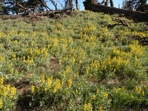
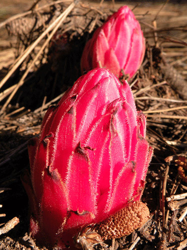
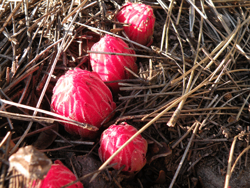
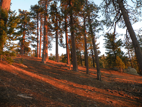
Wildfire is part of the natural dynamics of natural areas such as Pine Mountain Ridge. The most recent fire to burn a significant portion of the mountain was the Wolf Fire of 2002. The Wolf Fire of 2002 burned approximately 22,000 acres, starting behind Wolf’s Grill (Pine Mountain Inn) from a couple of fellows target practicing by shooting up an old van. The fire spread quickly and moved eastward along the upper Sespe Creek primarily on the south slope of Pine Mountain Ridge to Thorn Point. The wildflowers in the burn area during the next spring (2003) was fabulous.
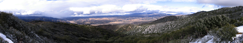
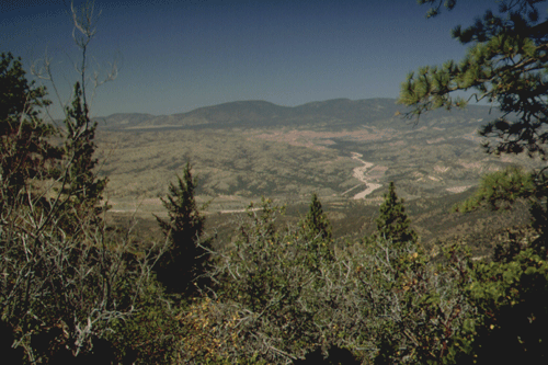
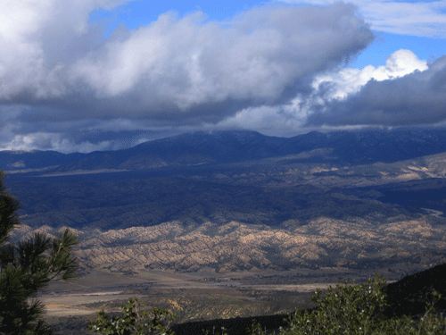
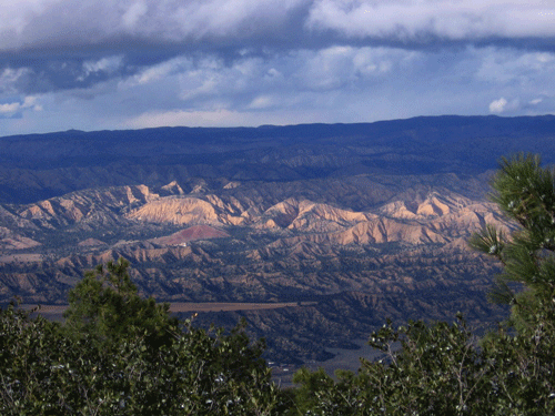
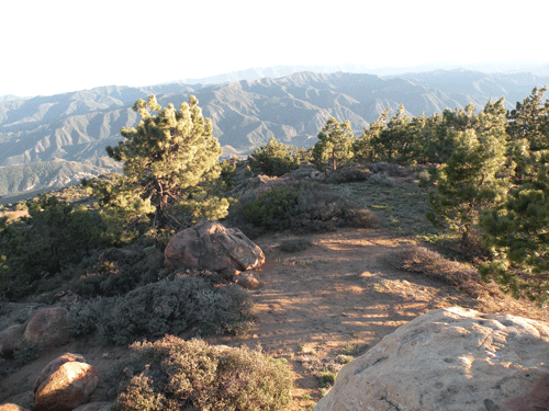
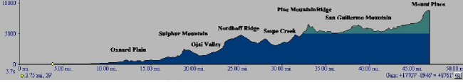
Pine Mountain Ridge was created primarily during the orogeny of portions of the western Transverse Ranges, has been suggested as middle Pliocene (Axelrod 1976, 1980) and major deformation as middle Pleistocene (Gross 1958). Geologically, Pine Mountain Ridge is composed of Oligocene nonmarine and Miocene marine sedimentary formations. The ridge represents a large anticline trending east-west, which is clearly exposed in the roadcut at Pine Mountain Summit on State Route 33. Major peaks on the ridge include, from west to east, Reyes Peak (2,500+ m), Haddock Peak (2,500 m), and Thorn Point (2,114 m). Two primitative car camps occur on Pine Mountain (Pine Mountain and Reyes Peak), along the old Hattie-Russell Road, which was originally built by Shell Oil Company while exploring for oil on the ridge in the 1930s. I worked with a fellow school bus driver back in the late 1970s who had driven service trucks out to the drilling site on the southeast side of Reyes Peak in the late 1930s. The Forest Service maintained a fire lookout on Thorn Point for many decades before closing it in the early 1990s due to budget constraints. Below is a topographic profile across Ventura County, from south the north, that illustrates the relative geographic and topographic position of Pine Mountain Ridge.
In the late 1800 and early 1900, young and older men from Ventura and Ojai would spend months at a time in the backcountry, hunting and fishing. One group of Ventura merchants formed a hunting club, calling themselves the Sisquoc Rangers. It was the Sisquoc Rangers that built and maintained the Pine Mountain Lodge as a backcountry hunting lodge. Over the years, I have gathered information about Pine Mountain Lodge, now just a U.S. Forest Service primitive backcountry camp site, and wrote up what I know. The story of the Sisquoc Rangers and Pine Mountain Lodge is told here.
All photos copyrighted by David L. Magney 2000-2010