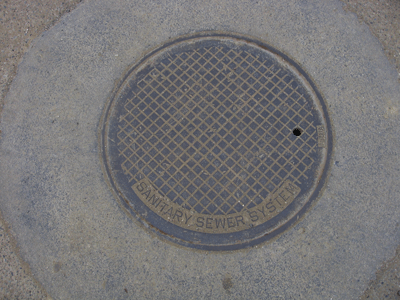
Manhole Covers of Lost Hills, Kern County, California
Created 13 December 2008
This page was last updated on 13 December 2008
All photos copyrighted by David L. Magney 2008
Manhole Covers of Lost Hills, California
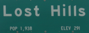
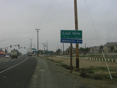
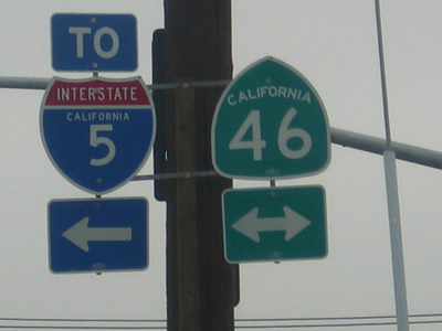
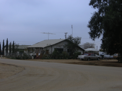
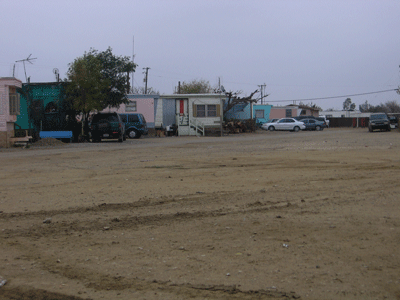
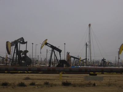
Lost Hills is an agriculture and oil town in northwestern Kern County located on State Route 46, just west of I-5. State Route 33 is located a few miles west. It has a population of about 1,938, of which 18.6% are White, 96.8% are Hispanic, 2.6% are Black, and 1.6% are Native America. The median family income of $31,875 and a per capita income of $8,317. Lost Hills is named for the low hills and related oil fields of the same name nearby. It occurs at 291 feet above sea level, in the Tulare Basin, an internally drained basin.
I have done a fair amount of field work in the Lost Hills area in the late 1980s and early 1990s, looking for rare plants and wildlife, and have tromped all around the oilfields south (in Belridge oilfield, etc.) of Lost Hills.
Additional information about the Lost Hills can be found at Lost Hills Info.
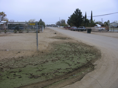
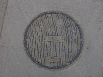
Below are some photos of Lost Hills and the manhole covers in its streets. The natural vegetation around Lost Hills consists of California Annual Grassland and Chenopod Scrub, dominated by Fourwing Saltbush (Atriplex polycarpa) and Spiny Saltbush (Atriplex spinifera). There are many wildflowers in this habitat during the spring, early spring, and many plant and wildlife species endemic (restricted and native) to this very arid (desert) environment.
Previous Page |
Next Page
Magney's Manhole Covers Home Page
Magney's Biogeography/Photography Home Page
David Magney Environmental Consulting Home