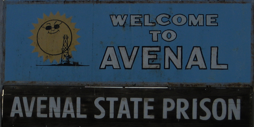
Avenal is a small rural city in westernmost Kings County. Avenal is located along the western edge of the San Joaquin Valley, in the shadow of the Tembors Range and west of the Kettleman Hills, at an average elevation of around 800 feet above sea level. Avenal was a farming town, named for wild oats, for which the genus is "Avena. Avenal was founded in 1929 by Standard Oil Company, but didn't become incorporated until 18 September 1979. Avenal currently has a population of 16,214 (2005), with almost half of those as prison inmates. Avenal is the home of Avenal State Prison, a major part of the city's economy, followed by oil production and agriculture. Avenal citizens are composed of 35.8% Caucasians, 65.9% Hispanics, 0.4% Asians, 12.64% African-Americans, and 1% Native American. The median household income for Avenal residents is $29,710 and the per capita income is $14,090.
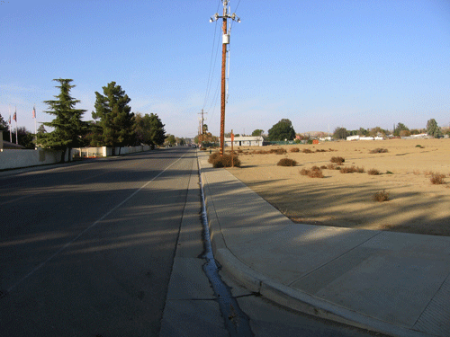
One highway passes through Avenal, State Route 33, and another originates/ends in Avenal, SR 269. The average commute time for working Avenal residents is 25 minutes, indicating that about half works in or near the city and the other half commute a fair distance. It is very hot during the summer with a mean temperature during July of 82, and cold (relatively) in the winter with a mean temperature in January of 44 degree F. Additional information about Avenal can be found at Avenal Info and at the Official Avenal site. The winter utility pole banner makes the town look so much better, doesn't it? Part of the Chamber of Commerce's efforts to beautify and make the city a little more gay.