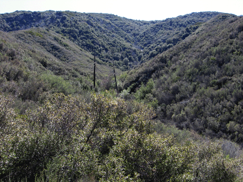
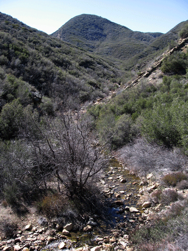
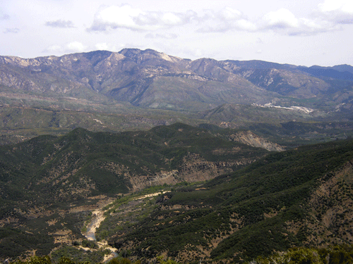
The north slope of Dry Lakes Ridge drains into the middle reach of Sespe Creek, which flows east at Dry Lakes Ridge. There are no trails at all on the north side of the ridge, with State Route 33 traversing the base of the ridge above Sespe Creek. The western portion drains into Tule Creek, a tributary to Sespe Creek.
Topographic Map of Dry Lakes Ridge, Ventura County
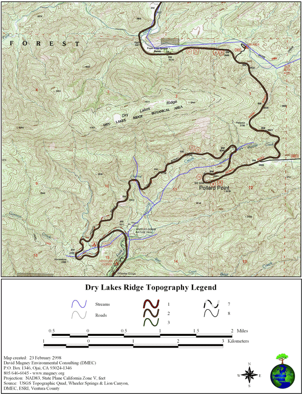
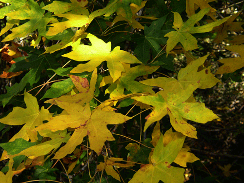
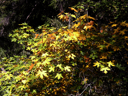
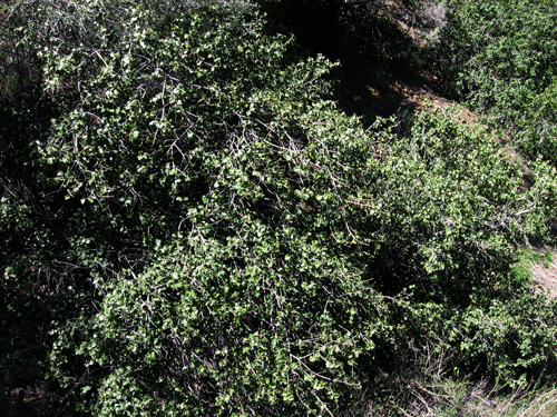
The north slope is very steep, a bit steeper than the south slope, which is very steep too. The vegetation is primarily mixed chaparral, with Bigcone Spruce (Pseudotsuga macrocarpa) groves in the steepest, uppermost parts. California Bay and Bigleaf Maple are found scattered along the north slope, which is more mesic (moister) than the south slope or summit basins.
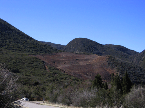
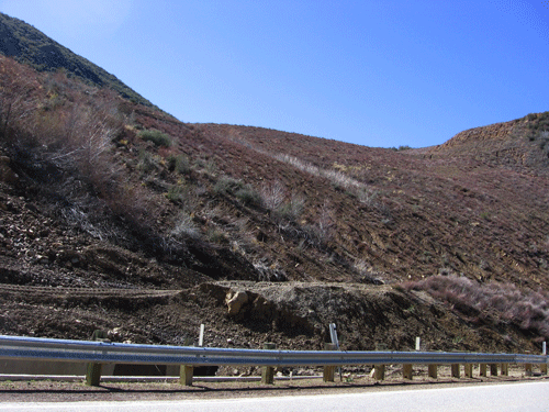
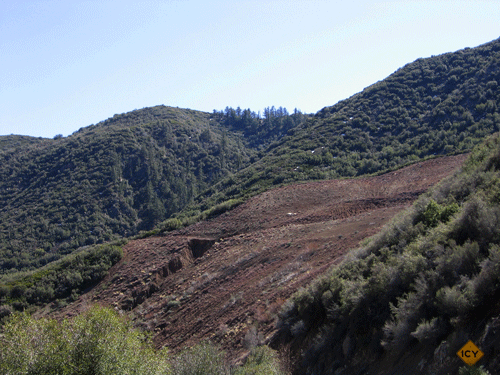
The Tule landslide, as shown on the aerial photograph, is a large block slide that gave way in the 1990s and blocked the highway for well over a year. Caltrans removed all of the slide material and has attempted to revegetate the barren substrate with very little success, likely a function of trying to get plants to grow where there is no biological activity (in non-soil). After the Wheeler Fire of 1985, the vegetation at the site of the slide (before it gave way) exhibited a dense cover of bush lupine, denser than I have ever seen anywhere before.
The Tule Fault creates a short east-west canyon with a small creek between the north slope of Dry Lakes Ridge and Tule Creek Canyon, just west of SR33.
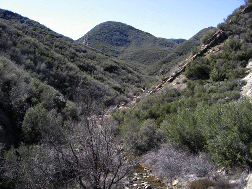
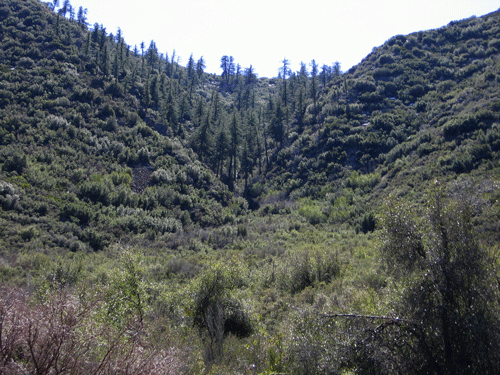
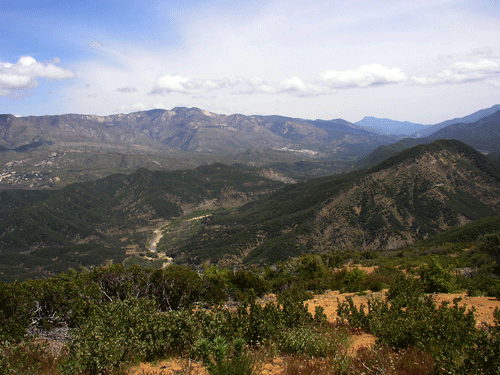
From the top of the steep part of the trail, looking eastward, many miles of the Middle Sespe Creek watershed is seen, with Thorn Point (at the eastern end of Pine Mountain Ridge) clearly visible in the background.
Acer macrophyllum, Bigleaf Maple - Maple Family (Aceraceae)

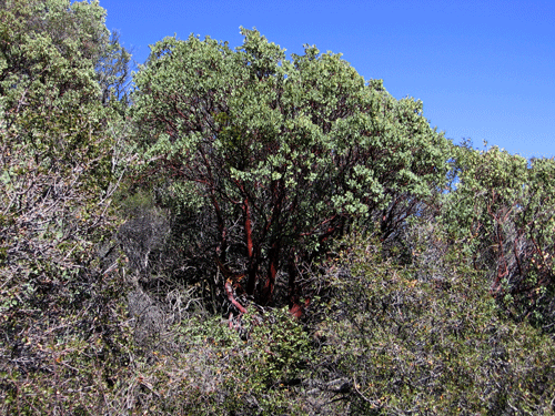
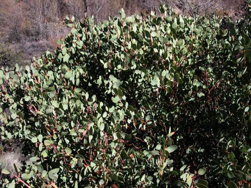
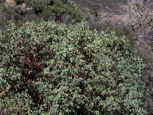
Arctostaphylos glauca, Bigberry Manzanita - Heath Family (Ericaceae)
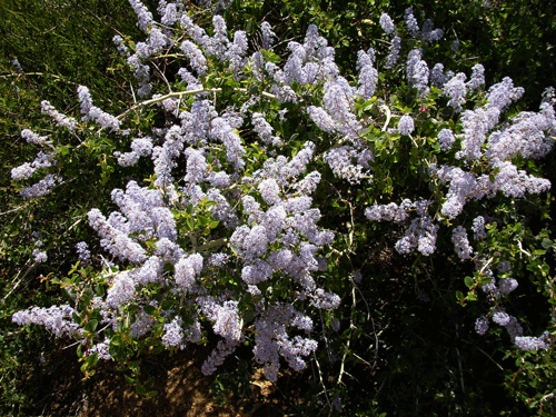
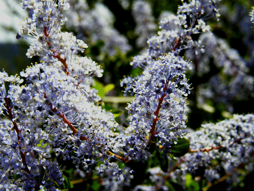
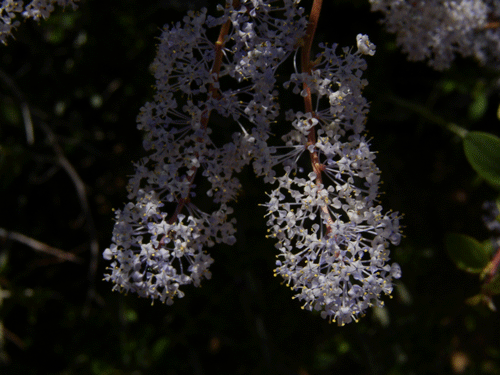
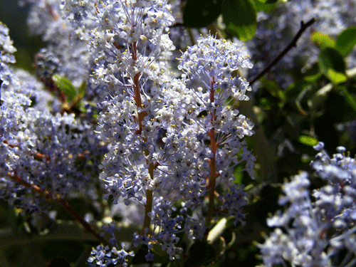
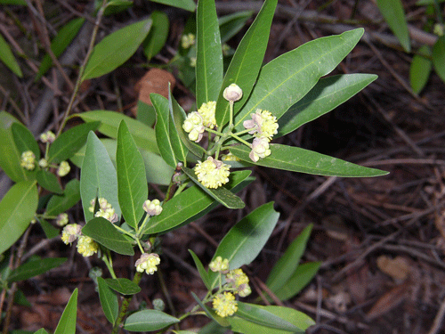
Ceanothus leucodermis, Whitethorn Ceanothus - Buckthorn Family (Rhamnaceae)
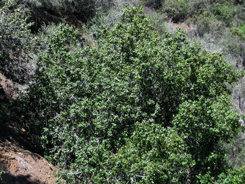
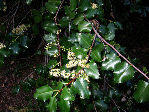
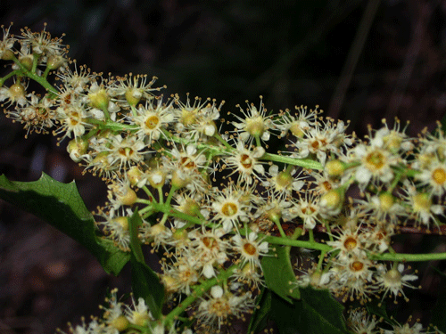
Prunus ilicifolia ssp. ilicifolia, Hollyleaf Cherry - Rose Family (Rosaceae)
Umbellularia californica, California Bay - Laurel Family (Lauraceae). It grows at a seep just east of the Tule Slide along SR33.
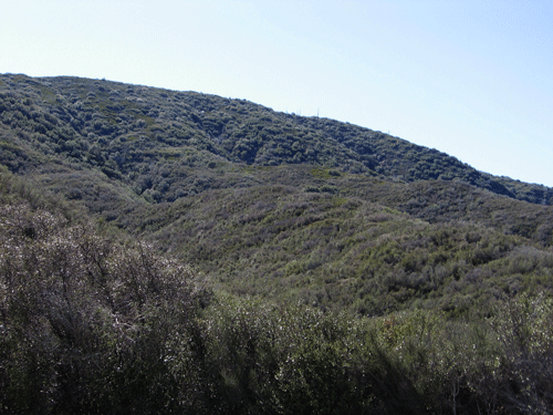
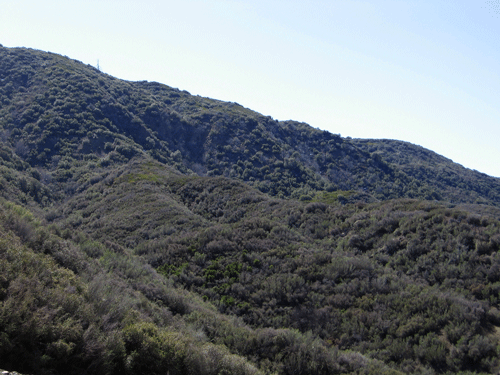
Dry Lakes Ridge South Slope
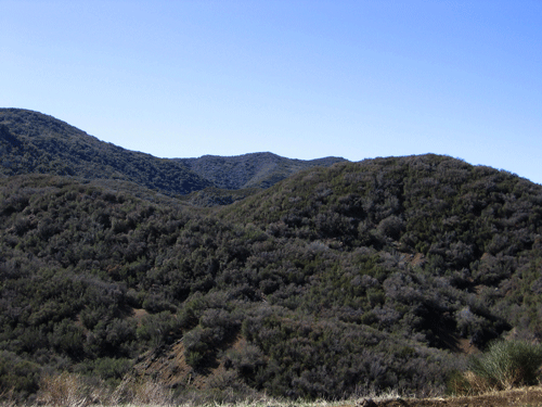
Dry Lakes Ridge Summit
Magney Biogeography Photography Home Page
David Magney Environmental Consulting Home