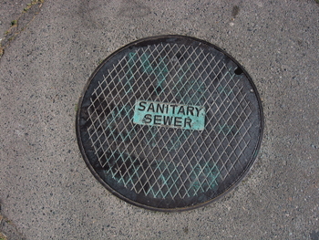
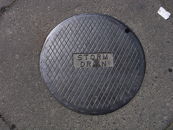
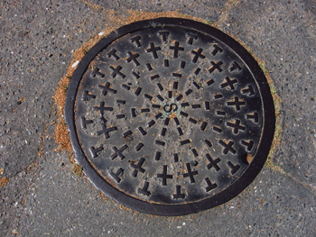
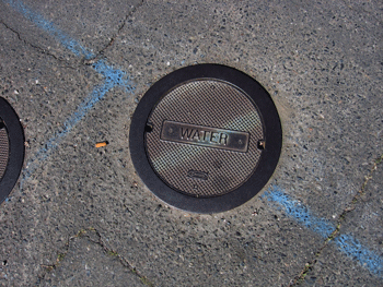
Manhole Covers of Sacramento River Delta Town of Walnut Grove
Created 17 March 2007
This page was last updated on 27 November 2008
This is a study of manhole covers from Walnut Grove, Sacramento County, California.
All photos copyrighted by David L. Magney 2007
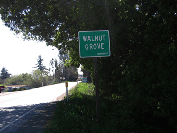
Manhole Covers of Walnut Grove, California
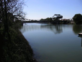
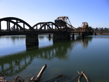
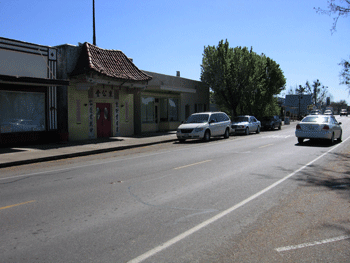
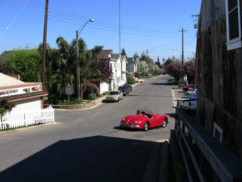
The land on which Walnut Grove occurs was formerly natural river levee (left bank) and marshlands associated with the Sacramento-San Joaquin River Delta, just as described for the other towns above. It is located on the left bank levee of the Sacramento River, in southwestern Sacramento County dowstream of Isleton. Walnut Grove is a small agricultural community.
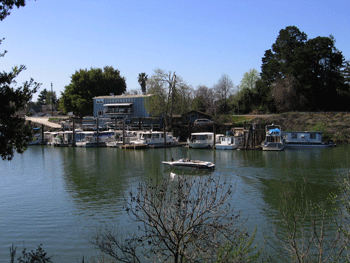
Walnut Grove is a small-sized unincorportated community located in southwestern Sacramento County. State Route 160 is the main road through town with the Sacramento River on the west, and pear orchards on the east. Walnut Grove is at 0 feet above sea level. Walnut Grove was founded in the 1850s.
The Sacramento River and SR160 are the main transportation routes passing through Walnut Grove . It takes Walnut Grove working residents, on average, 25? minutes to commute to work. Walnut Grove has a population of 753 people (2000), consisting of 25.1% White, 46.8% Hispanic, 13.2% Filipino, 1.5% African-American, 4.2% Native American, and 8% Asian. The median family income of Walnut Grove residents is $52,257 (2007). Agriculture and recreation associated with the Sacramento River are is the primary economies of Walnut Grove. About 15% of Walnut Grove residents over 25 years old earned a Bachelor's degree or higher. Additional information about Walnut Grove can be found at Walnut Grove Info and Walnut Grove Profile web sites.

Previous Page |
Next Page
Magney's Manhole Covers Home Page
Magney's Biogeography/Photography Home Page
David Magney Environmental Consulting Home