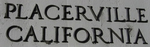
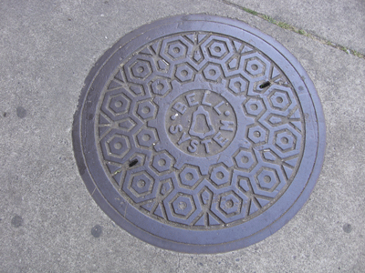
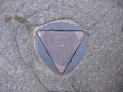
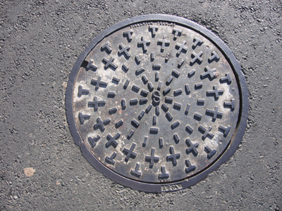
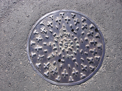
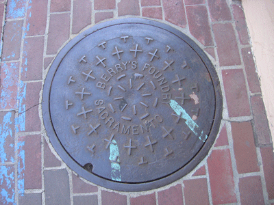
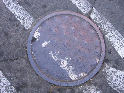
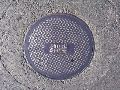
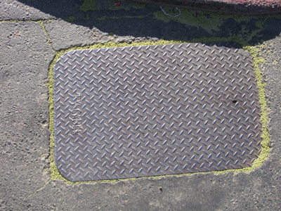
Manhole Covers of Placerville, California
Created 29 January 2008
This page was last updated on 1 December 2008
All photos copyrighted by David L. Magney 2007-2008
This is a study of manhole covers from Placerville, El Dorado County, California.
Manhole Covers of Placerville, El Dorado County, California
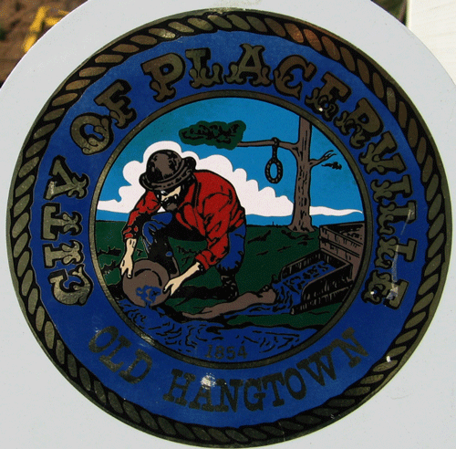
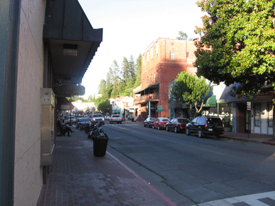
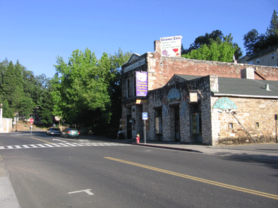
Placerville is a growing small-sized mining/tourist town in the Sierra Nevada, at an average elevation of 1,866 feet above sea level. Placerville was founded in 1854, and was quite large in population at the time of the Gold Rush of 1849 and the early 1850s. It is named for the placer mining, as has been called Old Diggins Town, and Hangtown, for the well-known hangings of convicted criminals immediately after sentencing was passed. Placerville currently has a population of about 6,229 people (2000). Placerville citizens are composed of 66.6% Caucasians, 38.6% Hispanics, 3.5% Asian, and 1.5% Native American.
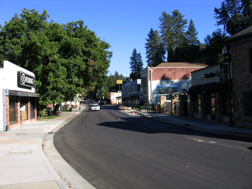
Placerville has grown in the last 20 years, with a fair number commuting to the Sacramento area daily. Besides mining, the timber industry is an important part of the economy. The median household income for Placerville residents is $27,900 and the per capita income is $12,267. 7.6% of Placerville residents over age 25 have earned a Bachelor's degree or higher.
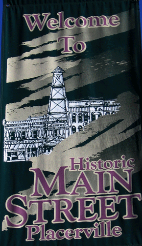
Two highways pass through Placerville, U.S. Highway 50 and State Route 49, with 50 serving as the major transportation corridor to and from Placerville. SR 193 originates just north of Placerville, off SR 49. The average commute time for working Placerville residents is 23 minutes, indicating that a large percentage works a short distance from town. Weber Creek passes through town. Placerville is the County Seat, and the gateway to South Lake Tahoe. Additional information about Placerville can be found at Placerville Info and at the Official City of Placerville site.

Previous Page |
Next Page
Magney's Manhole Covers Home Page
Magney's Biogeography/Photography Home Page
David Magney Environmental Consulting Home