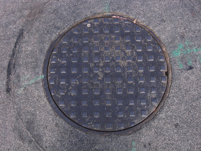
Manhole Covers of Morro Bay, California
Created 30 January 2011
This page was last updated on 30 January 2011
This is a study of manhole covers from Morro Bay, San Luis Obispo County, California.


All photos copyrighted by David L. Magney 2007
Manhole Covers of Morro Bay, California

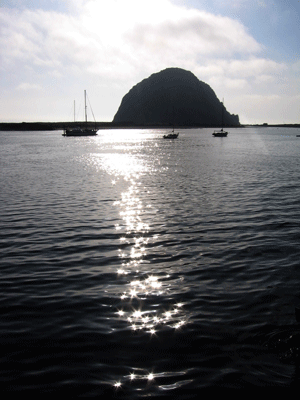
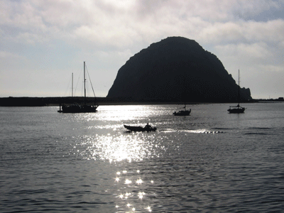
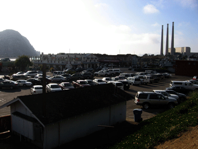
Morro Bay got its name from Juan Rodriuez Caprillo in 1542 because it resembled the turbaned head of a Moor. The town of Morro Bay was founded by Franklin Riley in 1870 to serve as a port for dairy and ranch products. The City of Morro Bay occurs at the northern end of Morro Bay. It has a population of 10,391 people (2009), consisting of 89.4% White, 11.4% Hispanic, and 1.8% Asian. The median household income of Morro Bay residents is $45,912 (for 2009) compared to $58,931 for California, and the per capita income is $28,025. 27.8% of Morro Bay residents have a Bachelor's degree or higher level of education.
Morro Bay is a small-sized community located in the western San Luis Obispo County just east of the ocean entrance into the bay, marked by Morro Rock, which is a tombolo. Morro Bay is at an average elevation of 62 feet above sea level. It was established in 1870. The average high temperature is 64 degress F and the average low temperature is 47 degrees F. Average annual rainfall is 16.6 inches. Fog is persistant during the early summer.
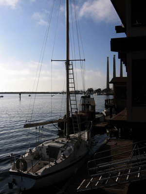
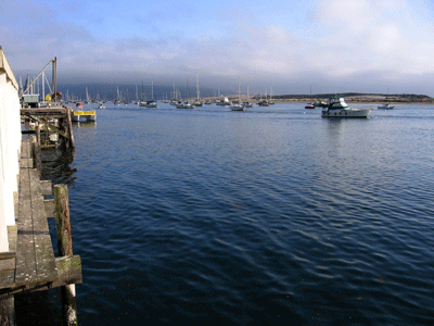
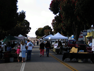
One Highway passes through Morro Bay, State Route 1. Tourism and fishing has been the primary economy of Morro Bay, with it becoming a bedroom community for the San Luis Obispo Valley. The average commute time for working Morro Bay residents is over 22 minutes. Additional information about Morro Bay can be found at Morro Bay Info and City of Morro Bay web sites.

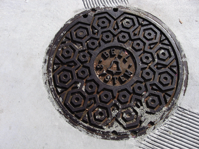
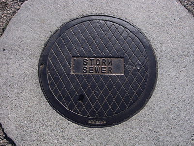
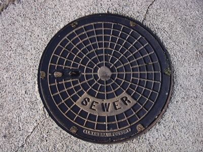
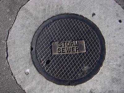
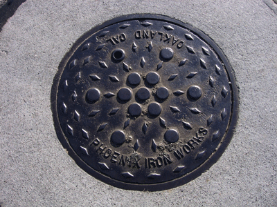
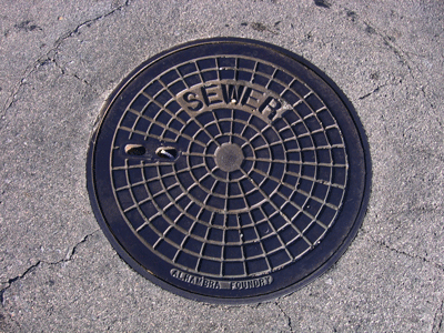
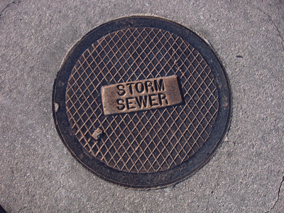
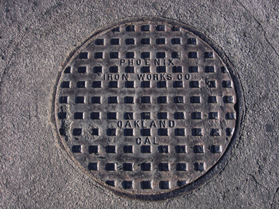
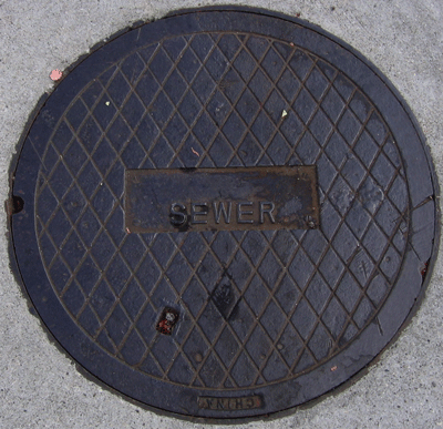
I found 11 varieties of manhole covers in Morro Bay.

Previous Page |
Next Page
Magney's Manhole Covers Home Page
Magney's Biogeography/Photography Home Page
David Magney Environmental Consulting Home