Manhole Covers of Sacramento River Delta Town of Isleton
Created 17 March 2007
This page was last updated on 22 November 2008
This is a study of manhole covers from Isleton, Sacramento County, California.
All photos copyrighted by David L. Magney 2007
Manhole Covers of Isleton, California
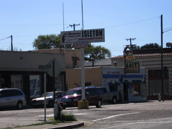
The land on which Isleton occurs was formerly natural river levee (left bank) and marshlands associated with the Sacramento-San Joaquin River Delta, as described for Courtland and Hood above. It is located on the left bank levee of the Sacramento River, in southwestern Sacramento County between the towns of Courtland and Walnut Grove. Isleton is a small agricultural community, home of the annual Crawfish Festival held in early June.
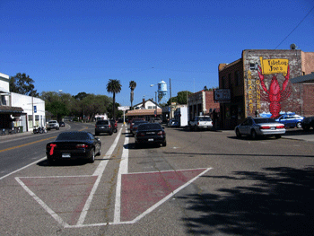
Isleton is a small unincorportated river community. State Route 160 is the main road through town with the Sacramento River on the west, and pear orchards on the east. Isleton is about 15 feet above sea level. Isleton was founded in the 1850s. The township did not get a Post Office until 19__.

The Sacramento River and SR160 are the main transportation routes passing through Isleton. It takes Isleton working residents, on average, 25? minutes to commute to work. Isleton has a population of 828 people (2000), consisting of 86.6% White, 7% Hispanic, 2.7% African-American, and 3.6% Asian. The median family income of Isleton residents is $33,958 and the per capita income is $19.767. Agriculture and recreation associated with the Sacramento River are is the primary economies of Isleton. Additional information about Isleton can be found at Isleton Info and Isleton Profile web sites.


Previous Page |
Next Page
Magney's Manhole Covers Home Page
Magney's Biogeography/Photography Home Page
David Magney Environmental Consulting Home