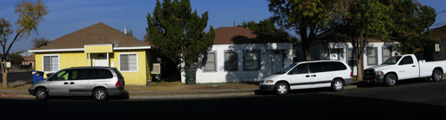
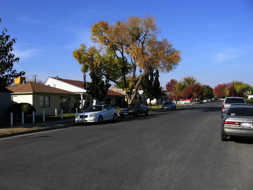
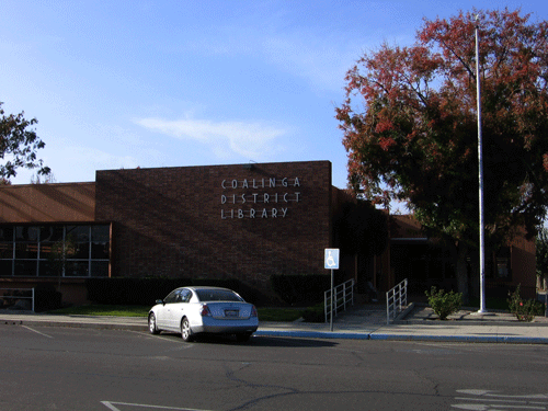
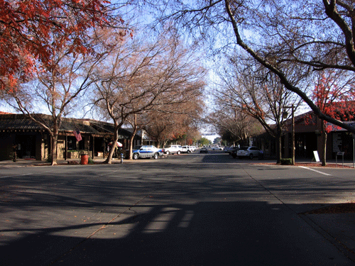
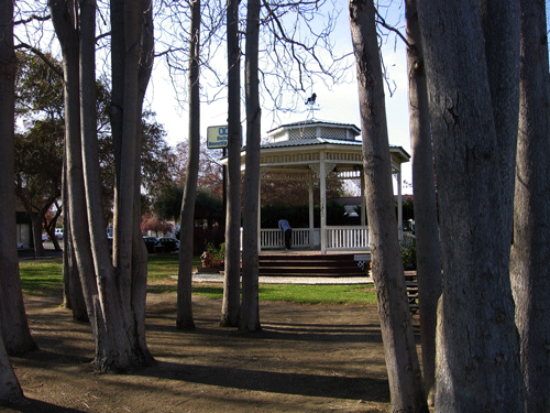
Coalinga is a small rural city in westernmost Fresno County. Coalinga is located in Pleasant Valley, along the western edge of the San Joaquin Valley, in the crotch of the Tembors Range and southern terminus of the Diablo Range, at an average elevation of around 673 feet above sea level. Coalinga was a farming town with a railroad, named for Coaling Station A, for a Southern Pacific Railway coaling station established in 1888. Coalinga was founded in 1888, and became incorporated in 1906. Coalinga currently has a population of 11,668 (2000) and grew to 17,080 by 2005, a huge percentage. Coalinga is the home of Coalinga State Hospital, Harris Ranch Beef Company, and Pleasant Valley State Prison, all major parts of the city's economy. Coalinga citizens are composed of 57.3% Caucasians, 49.8% Hispanics, 1.7% Asians, 2.4% African-Americans, and 1.5% Native American. The median household income for Coalinga residents is $38,133 and the per capita income is $14,425. 11.8% of Coalinga residents over 25 years of age have earned at least a Bachelor's degree.
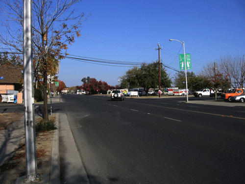
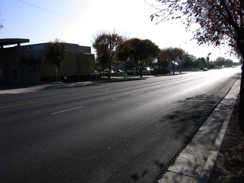
Two highways pass through Coalinga, State Routes 33 and 198. The average commute time for working Coalinga residents is 25 minutes, with 46.3% working in the city. The city was heavily damaged by a 6.5 magnitude earthquake on 2 May 1983, but has been well repaired since then. Additional information about Coalinga can be found at Coalinga Info and at the Official Coalinga site.