Charlestown is a part of Greater Boston, located on a peninsula north of Boston, between the Charles and Mystic Rivers. Charlestown is a port city established by English explorers and settlers to the region on the peninsula in Boston Harbor in 1628. The community was founded in 1628 but not settled until 4 July 1629. Charlestown was incorporated as a city in 1847. It is the oldest neighborhood in Boston.
Charlestown currently has a population of about 15,010 people (2000). Charlestown citizens are composed of 74% Caucasians, 13% Hispanics, 6% Asian, and 14% Black. The median household income for Charlestown residents is $61,817 and the per capita income is $22,766. Charlestown is home to Suffolk University.
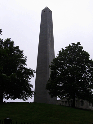
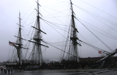
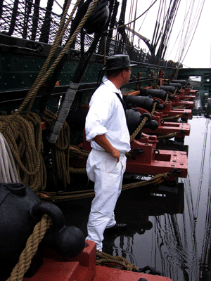
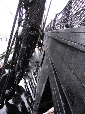
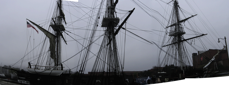
Bunker Hill is probably the most famous and visible places of interest in Charlestown, and this is also where Old Ironsides, the U.S.S. Constitution, is berthed.
Charlestown, other than the home to Native Americans prior to the arrival of the French fur traders and English explorers, was first settled as an English investment enterprize by Puritans, financed by the Massachusetts Bay Company, manned primarily by persecuted Christians who did not conform to the Church of England doctrine. Charlestown became an important port for emigrants primarily from England and trade during the late 1600s through the early 1900s.
Six highways pass through or terminate in Charlestown, Interstate 93, State Routes 1A, 3, 23, and 28, and U.S. Route 1. Additional information about Charlestown can be found at Charlestown Info and at the Official Charlestown site.